
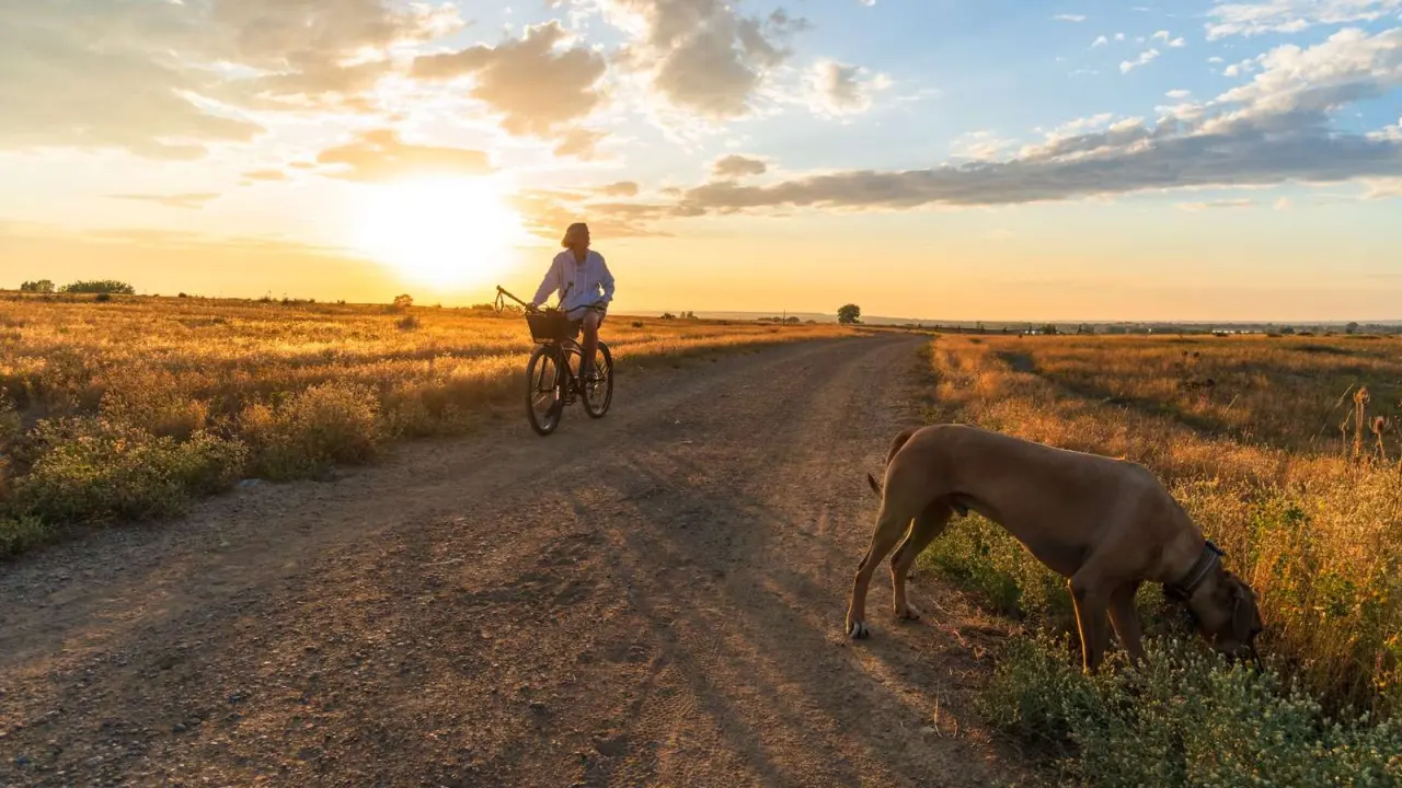
Wondering where to walk or ride? Your starting point for trails in Centennial CO is the High Line Canal, a long shared path, plus shorter South Suburban trails for easy outings.
This page sits inside the wider guide to Centennial Colorado, with trails as one part of local life.
| Trail | Key fact |
|---|---|
| High Line Canal total length | 71 miles |
| Bear Creek Trail length | 1.57 miles |
| Big Dry Creek Trail North length | 2.48 miles |
| Big Dry Creek Trail South length | 2.13 miles |
| Centennial Link Trail length | 2.95 miles |
| Columbine Trail length | 2.57 miles |
These figures come from the South Suburban trail map page and the High Line Canal Conservancy guide. They can change, so check the source before you rely on them.
The High Line Canal as your long route
The High Line Canal is a linear park that runs for 71 miles through the region, as described by the High Line Canal Conservancy. You do not have to tackle it all at once, since you can join and leave it in sections.
The Conservancy’s guide page lists these uses:
- Walking
- Nature viewing
- Bicycling
- Hiking
- Horseback riding
- Picnicking
According to the same guide page, the canal is open year round, dawn to dusk, and recreation agencies may modify those hours. Plan daylight outings and watch for local notices.
If you like a challenge, the Conservancy runs a High Liner program. Anyone who bikes, walks, runs or rolls all 71 miles is described on the guide page as earning a commemorative medallion and sticker.
Shorter South Suburban trails
South Suburban Parks and Recreation publishes a trail map page with a length and elevation note for each trail. Five of them are covered here, and the full page may list others.
- Bear Creek Trail: 1.57 miles
- Big Dry Creek Trail North: 2.48 miles
- Big Dry Creek Trail South: 2.13 miles
- Centennial Link Trail: 2.95 miles
- Columbine Trail: 2.57 miles
Those lengths are taken from the South Suburban trail map. Each is short enough for a relaxed walk, and you can string them together with other paths if you want more distance.
Where the routes connect
One link is easy to miss. South Suburban’s trail map page notes that the western part of the Centennial Link Trail, from South Broadway to deKoevend Park, is also known as the Highline Canal Trail.
In other words, a local link trail and the long canal path overlap there. The Conservancy says its guide and map highlight access points, landmarks and connecting trails, which helps when you plan a loop or a one-way ride.
For a trailhead, the South Suburban parks list names the Big Dry Creek East Trailhead at 580 E Powers Ave in Littleton. Use it as a starting marker when you read the map.
How hilly are these trails?
Gentle, on the shorter routes. The trail map page gives a total elevation difference of 29 feet for the Centennial Link Trail, 31 feet for Bear Creek Trail and 46 feet for Columbine Trail.
The two Big Dry Creek sections climb more. The same page lists 110 feet for the north section and 113 feet for the south section, both higher at the southern end.
It also notes that elevation varies throughout the length of each trail. Expect small rises and dips instead of one steady slope, which suits casual cyclists and families with strollers.
Rules, etiquette and sharing the path
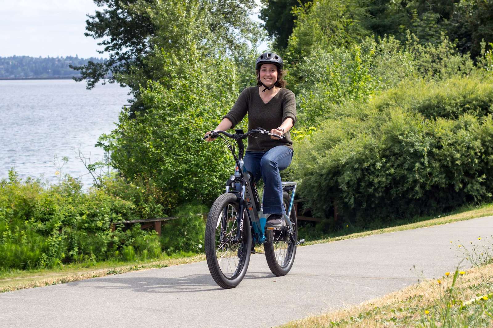
The Conservancy’s guide page stresses that the canal is a shared trail. Walkers, cyclists and riders all use it, so keep to one side and pass with care.
Rules differ by stretch. The same page points visitors to the agencies that manage each reach:
- Denver Water
- Douglas County
- The Metro District of Highlands Ranch
- South Suburban Parks and Recreation
- Greenwood Village
- Cherry Hills Village
- Denver Parks and Recreation
- Aurora Parks, Recreation and Open Space
Check the agency for the stretch you plan to use, because its rules apply there.
Maps and planning your outing
The Conservancy offers a printed guide, a digital guide that uses AllTrails for on-the-ground navigation, and a downloadable trail map, all described on its guide page. Pick whichever suits how you like to navigate.
Free paper maps are listed at several Centennial spots, including the Centennial Civic Center at 13133 E. Arapahoe Road and Goodson Recreation Center at 6631 S University Blvd. The South Suburban Sports Complex at 4810 E County Line Rd is also listed, and the Conservancy asks you to call ahead to confirm stock.
When you want a place to stop mid-ride, the guide to parks in Centennial CO is a good next read. On a stormy day, look at indoor activities for kids Centennial CO instead.
Frequently asked questions
How long is the High Line Canal?
Show answer
About 71 miles end to end, according to the Conservancy’s guide. Most visitors enjoy a short piece rather than the whole thing.
Can you cycle on the High Line Canal?
Show answer
Yes, bicycling appears among the uses on the Conservancy’s list, next to walking and hiking. Yield to slower users and follow the rules of the agency that manages your stretch.
Which of the listed South Suburban trails is longest?
Show answer
The Centennial Link Trail, at 2.95 miles, is the longest of the five covered here, per the trail map page. For a quick outing, Bear Creek Trail covers just 1.57 miles, the least distance of the group.
Do you have to pay for a trail map?
Show answer
Not for the paper version at the listed pickup spots, which the Conservancy describes as free, with a note to confirm stock. Phone the location first so you do not make a wasted trip.